
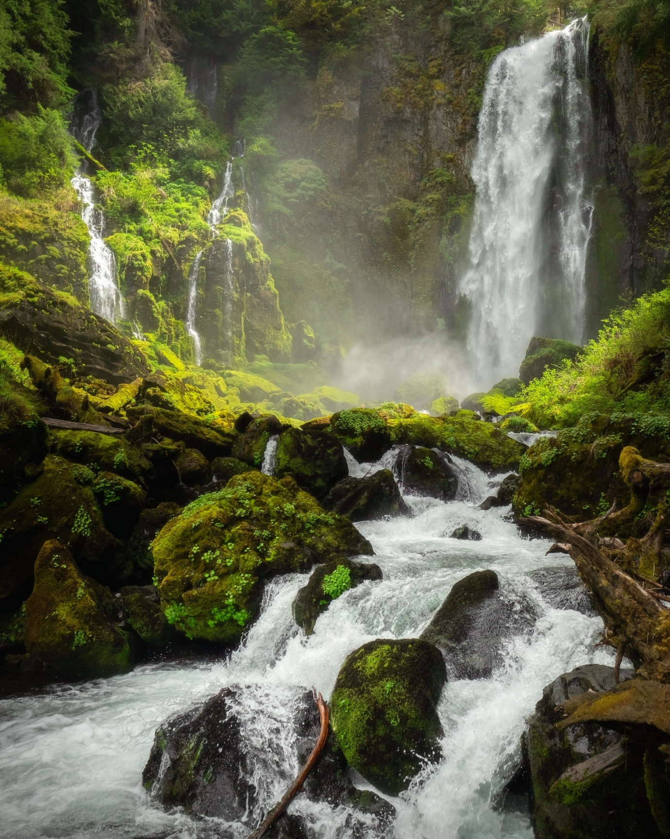
Science Golden Mining has mineral deposits, with a focus on gold and multi-ore in areas of Brazil with a large volume of minerals to be evaluated and explored. It develops research, prospecting and dimensioning, and proofing of gold and multi-ore through remote sensing in partnership with geo sensing company with the capacity to reach up to 3,000 meters in depth, with high accuracy, and generate studies of the soil and subsoil mining surfaces of the property of the ScienceGolden in Amazonia Brazil and managed to develop the Ni43101 and SKR certifications for three mines to be explored and certified.
green mining
modeling
Our System
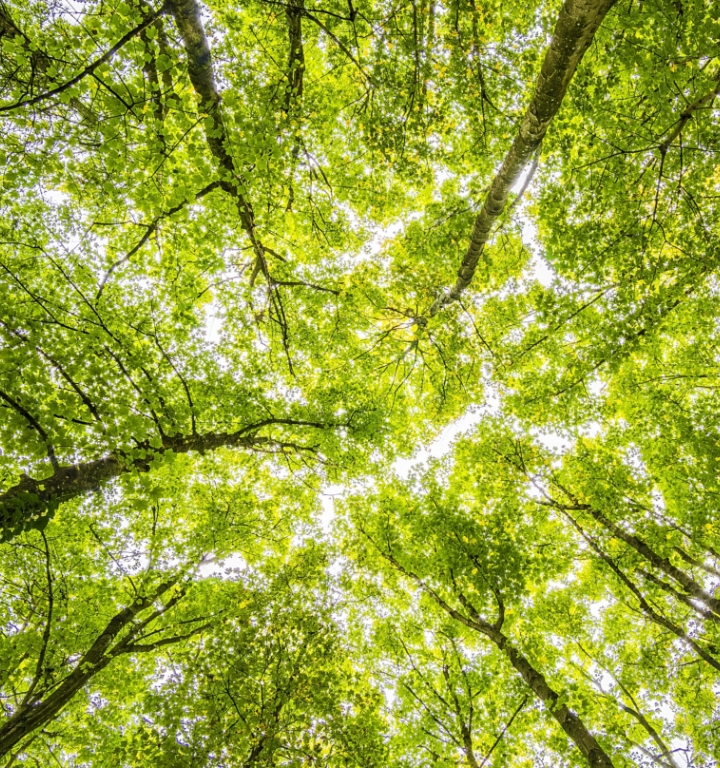
Science Golden Mining develops complete green mining modeling, involving all phases, implementing an automated project, fully electrified, with real-time commissioning, mitigating social and environmental damage. It uses state-of-the-art technology, operating in a continuous and permanent system, 24 hours, 365 days, recovering natural capital through mining tailings recovery systems and consolidation of sustainability and sustainable mining. The system is designed to meet the costs of multi-ore, optimizing the profitability of gold.
This project is part of the Program Basic Geological Survey of Brazil (PLGB) financed by the CARTOGRAPHY PROJECT DA AMAZÔNIA, coordinated by the Center Protection System Manager and Operational of the Amazon (CENSIPAM) AND PROGRAM OF GROWTH ACCELERATION (PAC) of the Federal government. This document is about a Simplified Explanatory Note entitled. Where we present from summarized form the lithostratigraphy stacking, tectonic evolution and potential for resources minerals observed in the delimited area by the letter.